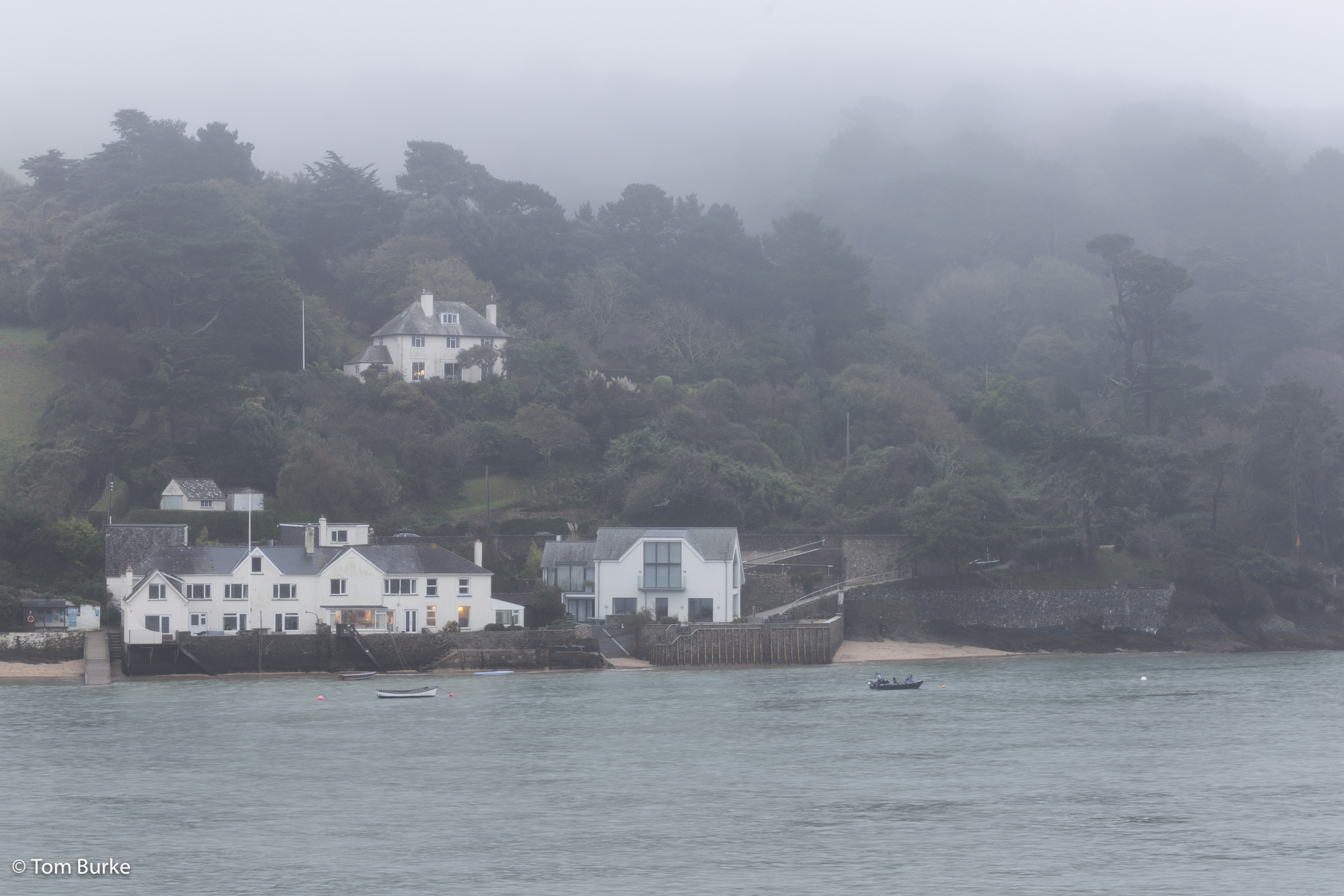
East Portlemouth in the mist
This is a few months old, so apologies for that. I’ve been havering back and forwards as to whether to post anything about this brief visit or not, and have finally decided that I ought to.
In late October I went back back to Salcombe, just for a few days – just two full days, to be truthful, plus the late afternoon of the day I arrived. There’s no need to write about the journey – I drove from Sheffield to Salcombe in S. Devon via the obvious route – or the reasons for going. I took a camera system because the weather forecast look reasonable for at least one of the days.
I’m familiar with Salcombe but seeing it out of season did make it look different. For example, when I arrived I was initially pleased to see that the town’s main car-park, nicknamed the ‘boat park’, appeared to have lots of spaces, but I soon discovered that this was because it was mainly closed to cars because it was (partly) occupied by boats that had been taken out of the water for the winter. It was also odd getting used to the much shorter days – I’m used to the long hours of sunshine in mid-summer.
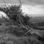
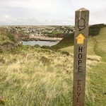
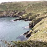
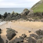
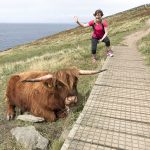
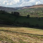
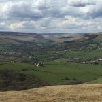
The weather, too, was very autumnal, at least at first – it was raining steadily on the afternoon I arrived, so no sitting on the terrace at The Ferry Inn this time. The day after was grey and miserable, with quite a stiff breeze, but this meant that we had East Portlemouth beach almost to ourselves for the obligatory game of beach cricket. But the day after that, the last full day of my visit, was glorious – perhaps the best day I’ve ever had there. Along with a couple of family members I walked from East Portlemouth to The Pig’s Nose Inn at East Prawle, a distance of perhaps three miles each way. On the way there we tried using some field paths in order to stay away from the lanes but we got rather muddy so on the return we just strolled along the lanes. The weather was wonderful – warmer than I’d expected (approaching 20 degrees), and very clear. Best of all I was able to get some good pictures.
-
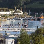
- Salcombe Harbour
-
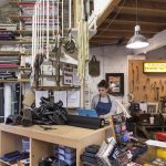
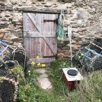
- Will Bees’ shop
-

- Across the estuary from Mill Bay
-
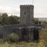
- East Portlemouth church
-
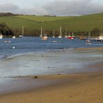
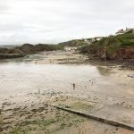
- East Portlemouth beach
-
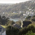
- Salcombe from across the estuary
-
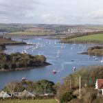
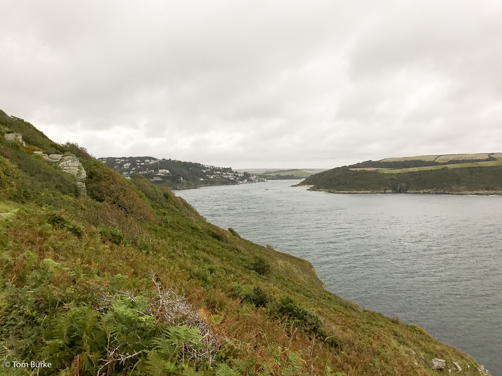
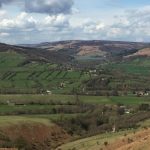
- Looking up the estuary towards Kingsbridge