 Last weekend I was in London for 24 hours. My wife and daughter were visiting a sewing show at Excel so I had the day (Sunday) to myself. The weather was glorious – sunny until late in the afternoon, quite still, and quite warm by mid-afternoon.
We were staying at in Stratford in East London and on looking at a map I spotted that there were a number of canals and waterways nearby which I decided I would spend Sunday walking along.
-
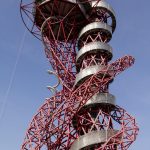
- The ArcelorMittal Orbit thingy…
-
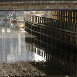
- The Waterworks River
-
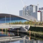
- The Aquatic Centre
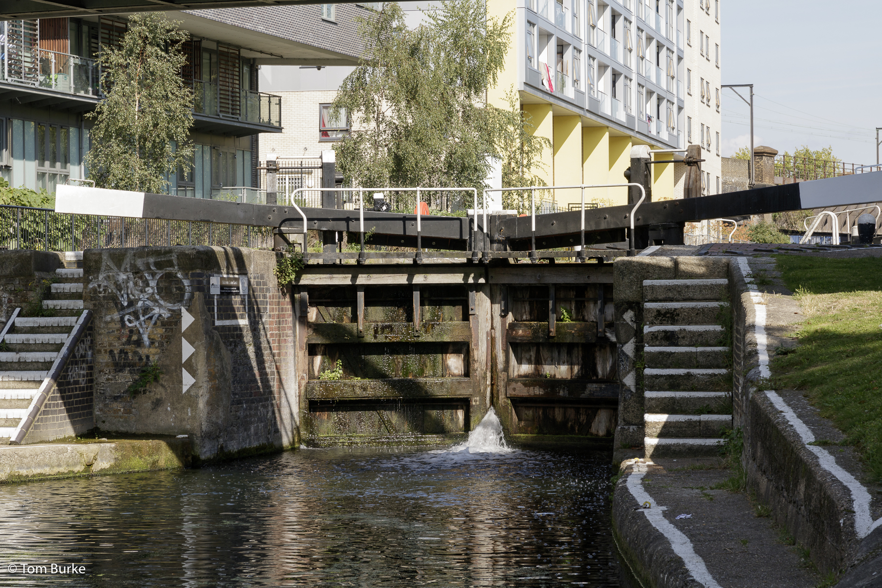
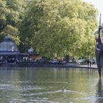
First up was the River Lea Navigation, which I encountered in the Queen Elizabeth Olympic park. It’s been significantly tamed – as you can see from the couple of shots I got of this waterway, it’s been incorporated into the Olympic Park.
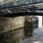
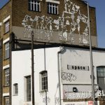
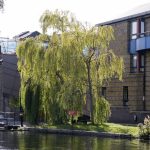
Next was the Hertford Union canal, a short (couple of miles) canal linking the River Lea with the Regent’s Canal. This was very much a typical narrow-boat canal of the kind I’ve seen all over England. There was even some canal boat activity – saw a boat being locked-down towards the River Lea. The environment this canal runs through is quite ‘gritty’ – there are still a lot of older building backing onto it, and the canal-side architecture has been ‘enhanced’ by the street artists. However, the canal also runs alongside Victoria Park and I diverted into the park for a while.

The western end of the Hertford Union forms a T-junction with the Regent’s Canal. Annoyingly, this was the only area on this walk where I had to divert away from the canal. There’s an apartment development under way – Bow Wharf – with the apartments expected to cost up to £1M. How the East End has changed! – although I suspect that this part of the East End was always one of the better parts. Once back on the Regent’s Canal I was walking along the edge of Mile End Park the Regent’s Canal runs alongside it for a mile or more – and I was struck by the new architecture on the opposite bank. Was this canalside the focus of early development? Certainly it all looked much more modern than the housing along the Hertford Union. Not a much life on the can, however – for long stretches the surface of the water was completely covered in green algae which suggested to me that there wasn’t much traffic along it.
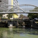
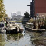
The final stop for this main walk was Limehouse Basin, at the end of the Regent’s Canal, and the site of a junction between the canal and the Thames. That said, I assume that the purpose of Limehouse Basin was to permit transhipment of goods from canal narrowboats to Thames barges & lighters, and vice-versa – I’m not sure about narrow boats on the tidal Thames! Today, as can be seen from one of the pictures, Limehouse Basin is home to a great many pleasure craft of different sizes.
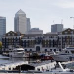
Later – after a break for lunch and a relocation to the O2 area, via Canary Wharf, I walked along the Thames from the O2 to Greenwich. By this time it was getting hot, and annoyingly i again had to divert into a back street because the Thames path is currently blocked by a new development. But the walk along the Oval College was as magnificent as ever, and there was a cruise ship moored at Greenwich Pier.
-
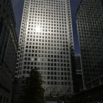
- Canary Wharf tower
-
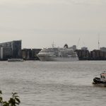
- MS ‘Europa’ moored at Greenwich
-
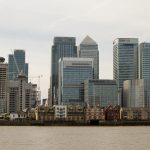
- Canary Wharf from the Greenwich peninsula
Leave a Reply